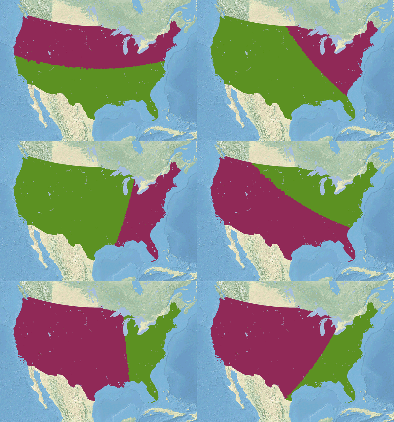
America votes Democrat but elects Republicans, and it's all thanks to how the country is divided up. Even if gerrymandering dies in court, Americans must still live with the the plain fact that every state gets the same number of senators. But what if things were different?
Ben Blatt:
there are many ways to split up America into 50 equal states, and depending on your methods, the results will look very different. If you wanted to, you could split the United States up by latitude or longitude. Below I divvied up the country by latitude. I created the first state by starting at the southern most point in the US, drawing a latitude line through it, and then moving upwards until that very long, skinny state contained 1/50th of the American population. I repeated that process until I had 50 new states. ... Granted, some of these new “states” wouldn’t be very convenient to govern...
The spinning GIF represents America divided into two equally-populous countries along various angles.


